Description
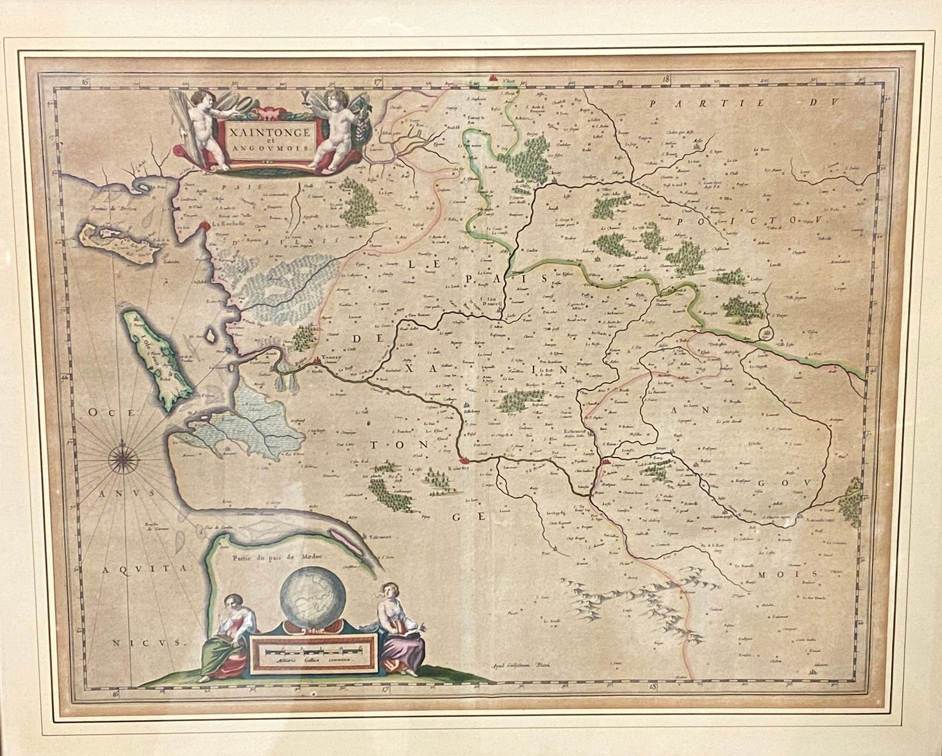
"Xaintonge and Angoumois Geographical map in color 18th century 41 x 51,5 cm (view) "Governo General di Normandia Geographic map in black 1692 46 x 58,5 cm ATTACHED: Set of ancient and modern maps. Two geogrpahic maps Algiers and Algeria Xxè century. Jloint an engraving military college of the Arrow. In the state. Various dimensions.
46
"Xaintonge and Angoumois Geographical map in color 18th century 41 x 51,5 cm (view) "Governo General di Normandia Geographic map in black 1692 46 x 58,5 cm ATTACHED: Set of ancient and modern maps. Two geogrpahic maps Algiers and Algeria Xxè century. Jloint an engraving military college of the Arrow. In the state. Various dimensions.